Here we have what might be considered by some to be “Type Two Fun”: a 27 mile bike – hike – bike route (round trip) with 4,400 feet of vertical ascent located on the beautiful Big Sur coastline.
What is Type Two Fun, you ask? Well first let us consider Type One Fun. Type One Fun is the type of fun that is fun while you are having it. You know, fun fun.
Type Two Fun is a type of fun that is not fun at the time, but later, in retrospect, feels fun due to the sense of achievement and reward resulting from having completed the fun. The key to having Type Two Fun is that it compels the “fun maker” to reconsider whether or not they are actually having fun. By this reasoning, it should be individually challenging.
Cone Peak is the second highest mountain in the Santa Lucia Range in the Ventana Wilderness of the Los Padres National Forest. It rises nearly a vertical mile in only 3 miles from the coast. This is one of the steepest gradients from ocean to summit in the contiguous United States. The average gradient from sea level to summit is around 33%, which is steeper than the average gradient from Owens Valley to the summit of Mount Whitney.
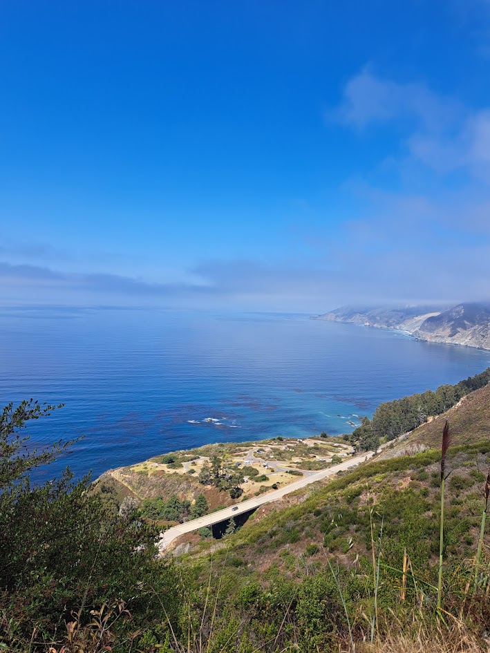
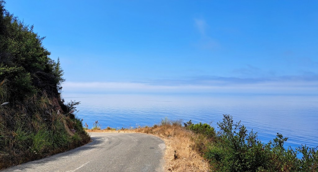
The road to Cone Peak begins across from Kirk Creek Campground on Highway One in the Big Sur region of California. Kirk Creek is an easy and scenic two hour drive from my house.
What fun it would be to ascend to the top of Cone Peak starting from Highway One under purely human powered transport! So much fun! 5,200 vertical feet of fun!
I had only accomplished this endeavor once before and that was many years ago.
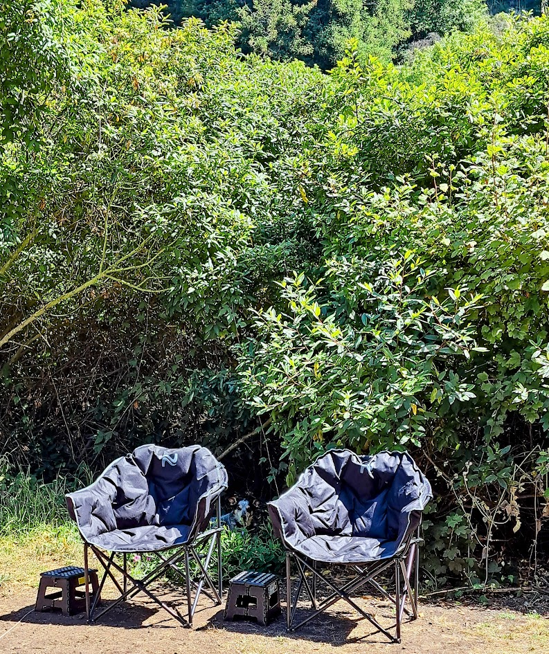
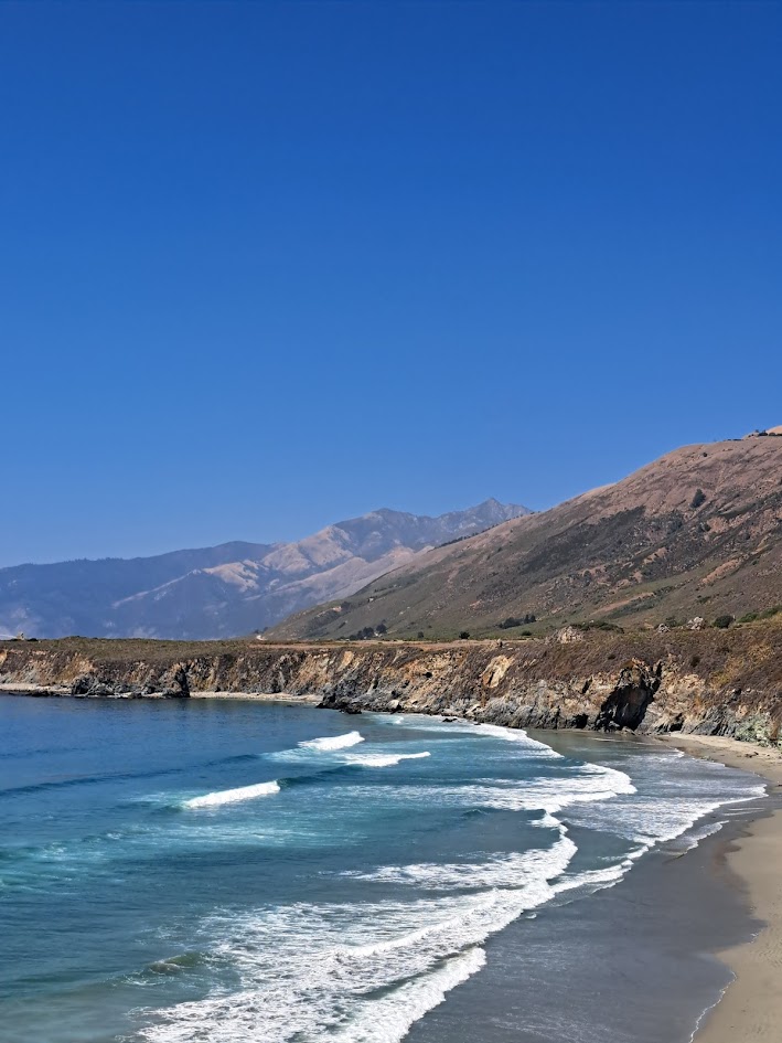
On August 25th, Care Bear, Poppy and I drove up to Plaskett Creek Campground (five miles south of Kirk Creek Campground) to spend a few nights sleeping under the stars and listening to the ocean. This, we achieved nicely. We were also rewarded with the sounds of Great Horned Owls calling to each other in the night.
On August 26th, I awoke fairly early. I had informed Karen of my plan to attempt Cone Peak the night before and that I would be back before lunch.
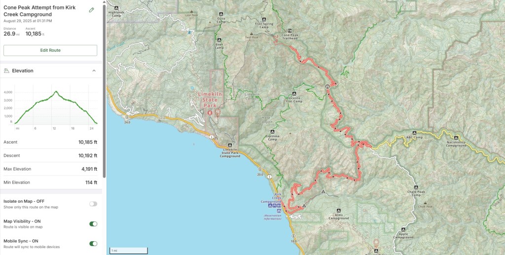
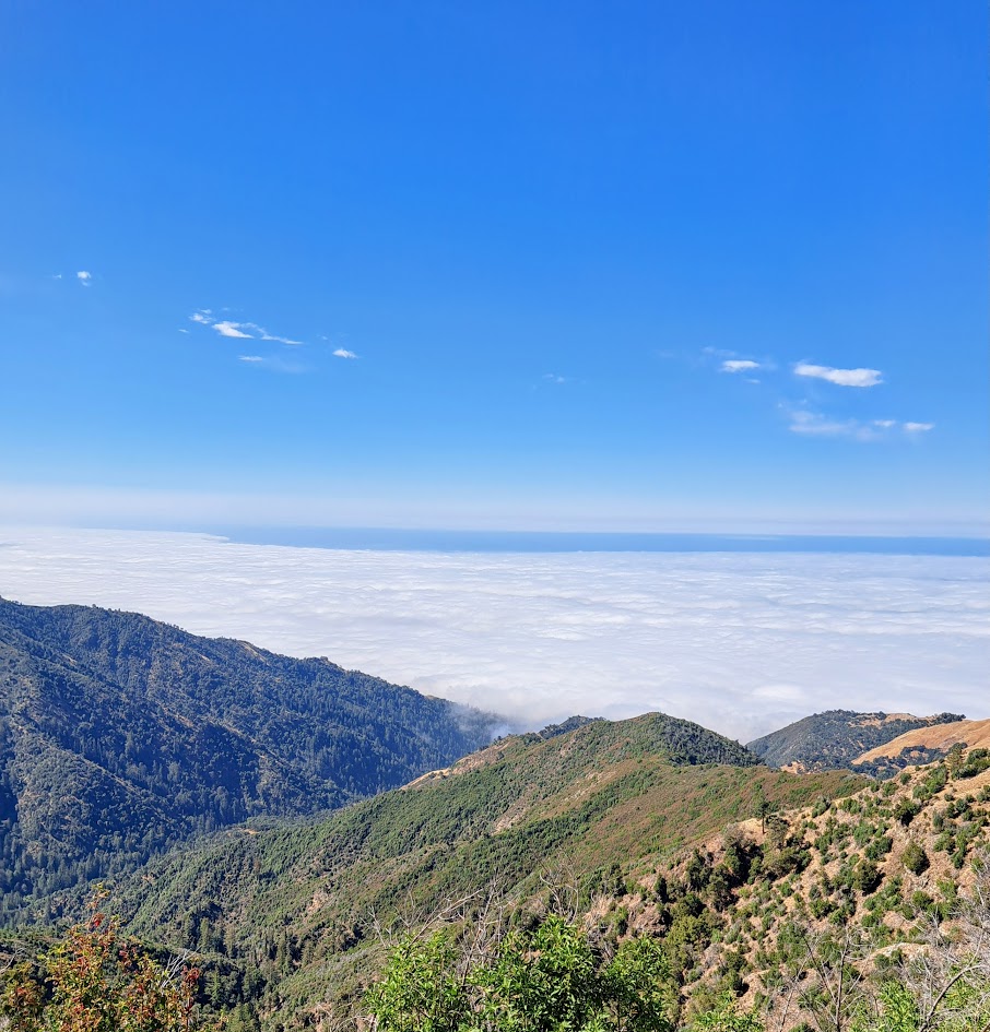
The Plan: Park at Kirk Creek. Ride up the paved Nacimiento Ferguson road to the top of the ridge (about seven miles and 2500 feet of vertical ascent). Head north on the rocky, dirt forest service road for about five miles to the trailhead for Cone Peak. Lock up the bike. Switch to hiking shoes. Start hiking. Hike the remaining 2.5 miles to the summit of Cone Peak. Total elevation gain: 5200 feet.
I was feeling the benefits of late summer fitness, so I decided to take my blistered feet and bruised toenails and shove them into my cycling shoes to give it a go.
I fueled up with fluids and carbohydrates during the five mile drive from Plaskett Creek to Kirk Creek.
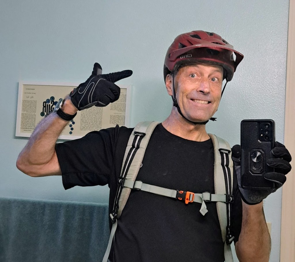
I started riding at 7:10 am with two liters of water in my hydration pack, an additional half liter of electrolyte solution in my bike bottle and eight packets of GU energy gel as well as some back-up solid food. I was also carrying hiking shoes, a bike lock, a fairly complete bicycle repair kit, my phone and my Garmin inReach.
After two and a half hours of bicycle riding I had climbed around 3700 vertical feet and had arrived at the hiking trailhead (mile 12.5). What remained was a two and a half mile hike gaining the final 1500 vertical feet. It was warming up. As the eleven o’clock hour approached, my bike computer informed me that the temperature was past eighty degrees.
I locked up my bike and switched to my hiking shoes and started hiking. (As it turned out, the bike lock was unnecessary. There was certainly no other human being recreating in this particular swath of wilderness in late August.) I left my bike helmet on as I had neglected to pack a hat. (I can not recommend hiking while wearing a bicycle helmet.)
I was still fully hydrated at this point, but I was losing water fast via perspiration and evaporation. Water loss through evaporation is also known as “insensible water loss”. I decided that I would hike until my water ran out. If my water ran out before I reached the summit, then I would turn around and head back down. At mile 13.5 (1.5 miles and 1,000 feet shy of the summit) I ran out of water. At this point my bicycle helmet was dripping rivers of sweat. I don’t know what the scientific term for “dripping rivers of sweat” is, but it is definitely “sensible”. So I headed back down the trail to my bike and enjoyed an amazing descent back to highway one. The descent was Type One Fun all the way!
I felt quite fresh at the finish and was content that I had almost pulled off a summit of Cone Peak from Highway One. Had I pushed on without water I would have reached the summit around noon, it would have been 90 degrees and I would have been late for lunch with Care Bear. (And I may have put myself in some physiological peril at that point.)
Will I try again? Probably. Will I start earlier in the day and/or later in the season? Yes.
Much of this area was severely burned in the Dolan Fire of 2020, which burned 125,000 acres. It is nice to see that it is recovering. Many of the Redwoods that looked dead after the fire actually survived and are green today.
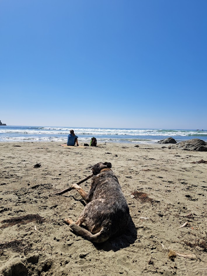
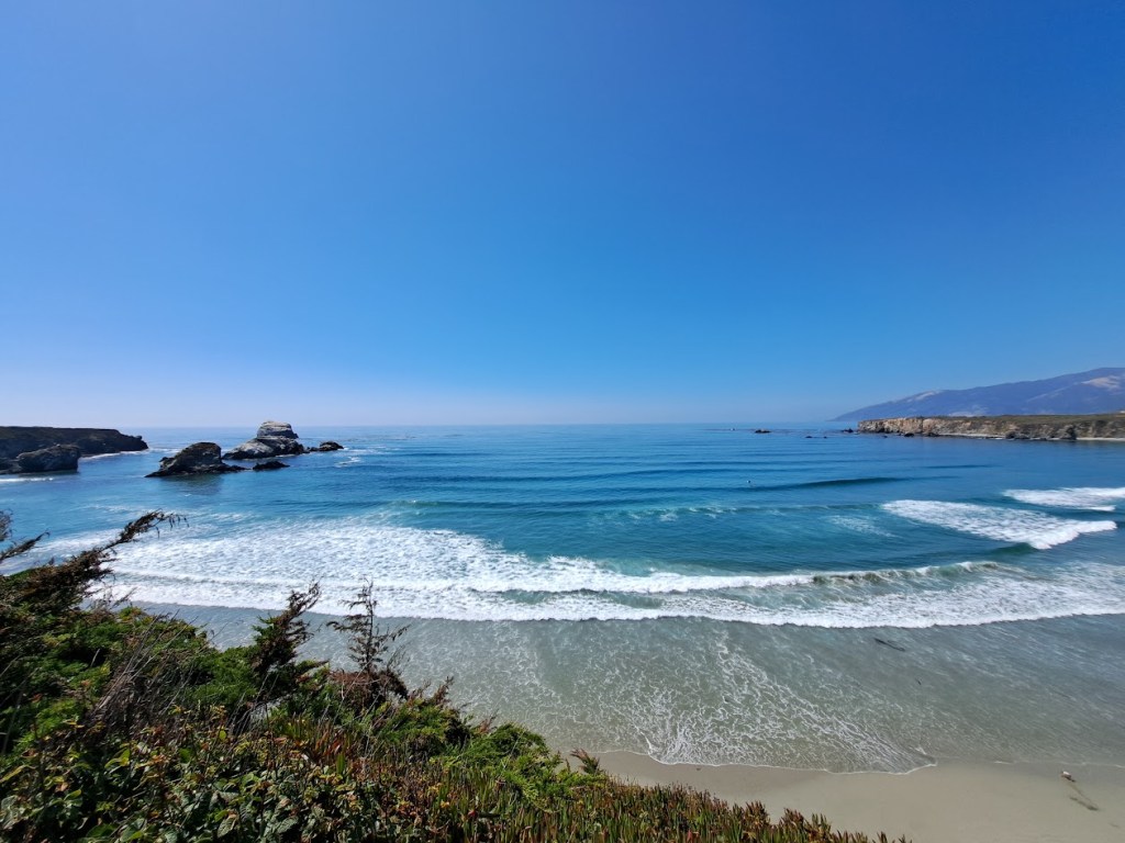
After lunch the three of us walked from Plaskett Creek to Sand Dollar Beach for a beach stroll and a splash.
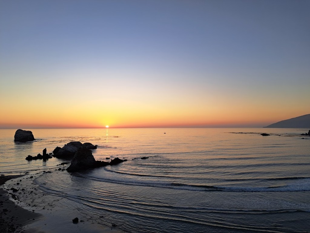
That evening after dinner we walked to the bluff for the sunset.
On our way home, a California Condor flew low over the car. As we looked up we saw two more perched on a rock bluff above the pacific.
Thanks for joining us on a little trip up Highway One as far as Kirk Creek. (A few miles north of Kirk Creek is where Highway One is still closed due to a landslide.)
Bonus Content: Type Two Fun Part Deux
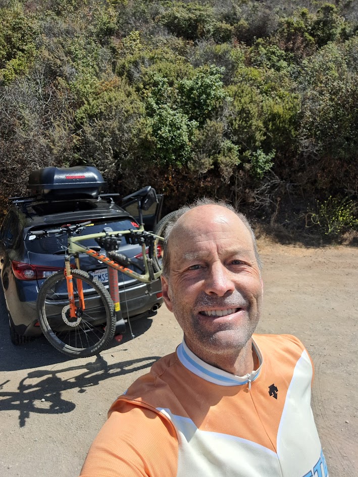
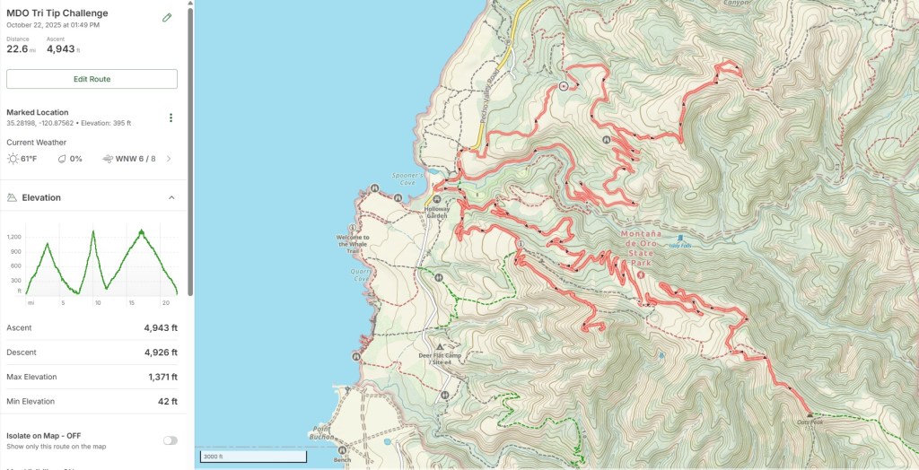
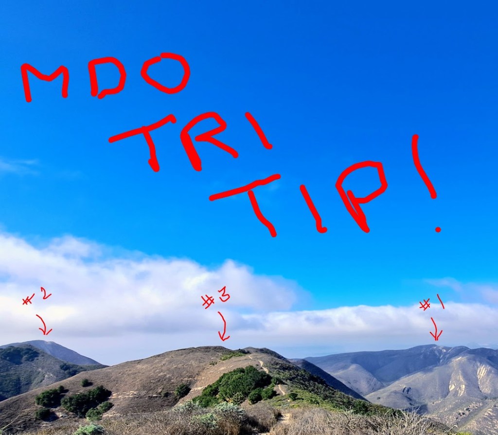
On October 7, 2025 I enjoyed some Type Two success by completing a personal challenge of summiting three peaks within Montana de Oro State Park (California) in under three hours. This I called the MDO Tri Tip Challenge. (Trip tip is local barbecue.) The three tips are Hazard Peak (1,086 feet), Valencia Peak (1,289) and Oats Peak (1,371 feet). It was a similar hike and bike outing as Cone Peak, only this one involved switching to my trail shoes on two occasions. I guess Type Two Fun is all about choosing your own adventure. Sometimes you finish, sometimes you don’t. The important thing is to branch out and have fun.
Bonus Content: Type Two Fun Part Trois
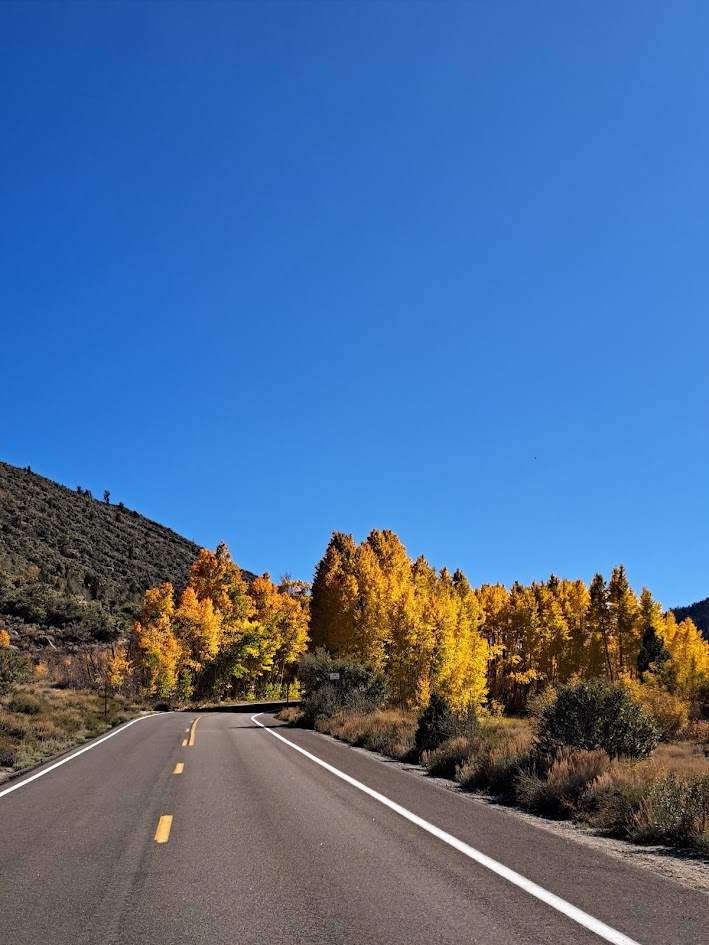
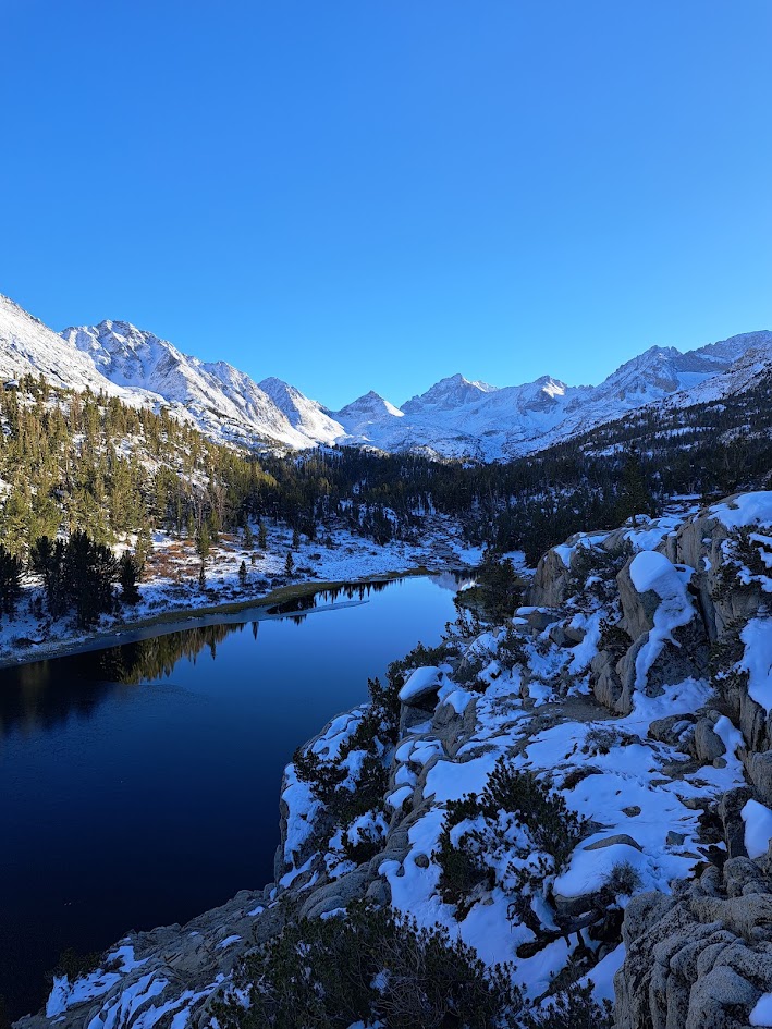
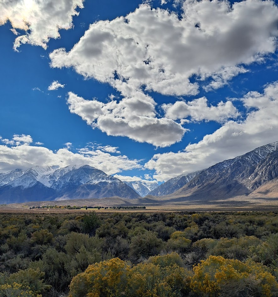
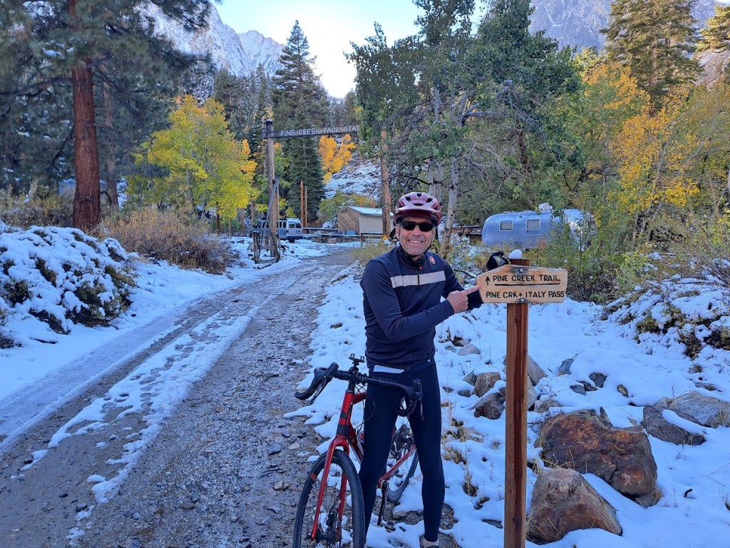
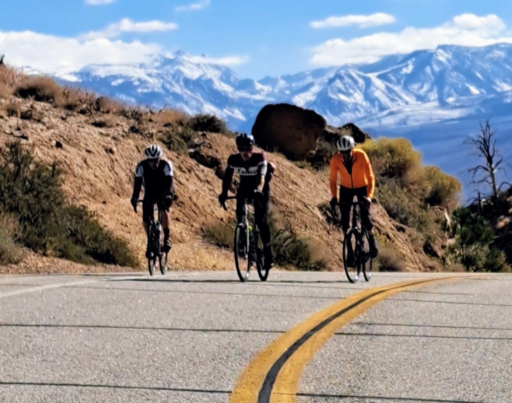
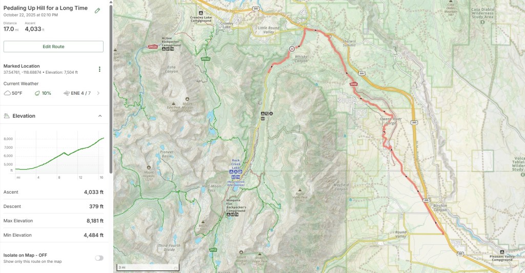
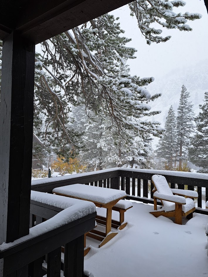
On October 16, I hopped on my bike with some friends and started pedaling into the Sierra Nevada mountains from the floor of the Owens Valley. I secretly wanted to hit that elusive mark of 5,200 feet of vertical, but ended up stopping at 4,000 feet of vertical gain due to snow. Snow and fatigue. And altitude. And a fundamental lack of resolve. I wanted to take a nap. I will try again. I will prevail.
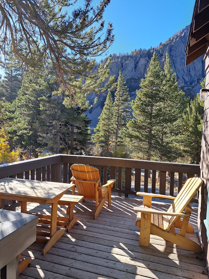
It was still great and amazing and beautiful and lots of fun. Our base camp was lovely Mammoth Lakes. On the day we arrived it was fall – almost summer. By the next day, winter had arrived.
In all we spent four days hiking and biking, during both fall and winter.