9/1/2026 – 9/4/2026
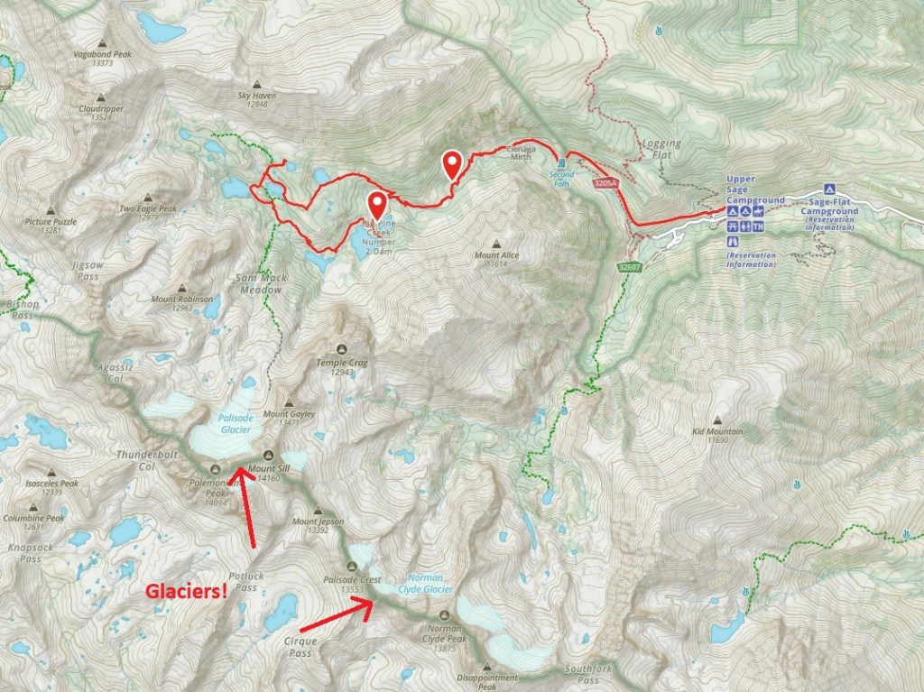
Here we have a 15-mile “Popsicle loop” through the John Muir Wilderness located within our beloved Sierra. The trail head is located on Big Pine Creek. From there, you have two options: the North Fork or the South Fork. Both receive rave reviews, but most backpackers are standing in line to visit the North Fork. I just happened to be looking at wilderness permits on Recreation.gov and noticed there was one permit available for the much sought-after North Fork of Big Pine Creek. Someone had canceled! Typically, these permits disappear in under one second on the morning they become available. I saw this as a calling. And when the mountains call we must go. I nabbed the coveted wilderness permit for the North Fork of Big Pine Creek and started packing!
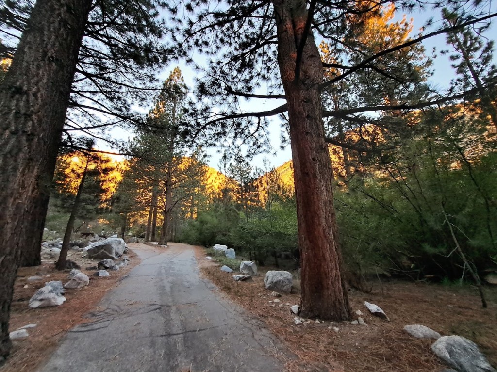
I access the gateway town of Big Pine from the south via U.S. Route 395, which has become a familiar and comforting drive for me. It is always time well spent – and so much geology to look at!
Directions: Upon arriving in Big Pine from the south, turn left (west) on Crocker Street and drive ten miles or so up Big Pine Creek Canyon (the “Glacier Lodge Road”) to the end of the road where you can spend the evening acclimating at the Big Pine Creek Campground: elevation 7,700 feet.
If you ever find yourself in Big Pine, then by all means drive up the canyon. Or pedal a bike. The road is ranked as one of the most difficult road bike climbs in the state (#15).
Another nice drive (or ride) is to the east. Head out of Big Pine on Highway 168 for a completely different experience. Instead of waterfalls, aspen trees and glaciers (yes, glaciers), you will encounter a dry but stunning landscape of rocks and Great Basin Bristlecone Pines (Pinus longaeva). Some of these pines are the oldest living organisms on Earth at over 5,000 years old. These are the White Mountains. They soar almost as high as their cousins, The Sierra, but The Sierra robs them of moisture. Thus, they wallow in its rain shadow. It is a harsh environment.
It was into this harsh environment that my roommate “Oakland Mike” and I were thrust for three weeks during the summer of 1985. As geology majors at UCSB (go Gauchos!), we were required to complete six weeks of summer field study, three of them here. (The other three were on the Edenesque locale of Santa Cruz Island off the coast of California.) Fair enough.
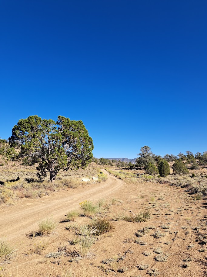
So before heading up Big Pine Creek Canyon, I headed in the opposite direction on Highway 168 and drove up to my old summer field camp and drank a beer – a toast to the old camp, geology in general and Oakland Mike.
Our field study area was called The Poleta Folds. UCSB students mapped at the Poleta Folds almost every summer from 1976 to 2003. In 2003, Caltech’s Jet Propulsion Laboratory took a long-term lease on the Cedar Flat campsite for a deep space listening facility. UCSB moved on to greener pastures. Caltech’s contract with the Forest Service included an agreement to restore the site to its original state. A new Cedar Flats group campsite was later built on the north side of Highway 168.
I was pleased to discover that the old Cedar Flat area looks very natural. It is ghostly quiet now. We often shared the area with our nemesis: UCLA. The Bruins are all gone as well. Bye-bye Bruins.
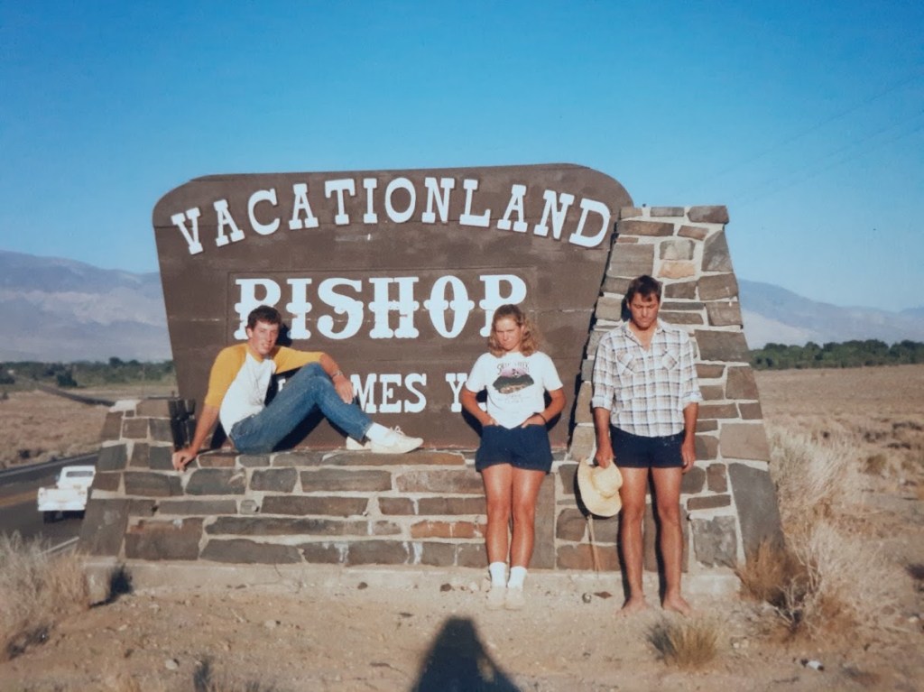
Here is a little tribute I wrote for Oakland Mike (inspired by the poet Robert W. Service):
“Full Moon Over Poleta”
There are strange things done in the White Mountain sun
By the men who study stone;
Where the bristlecones stand in a barren land,
And the oldest of trees have grown.
The winds moan low through the rocks below,
And the desert nights are cold;
But the strangest sight that ever met light
Was Mike so stark and bold!
You are a good man, Mike. The best.
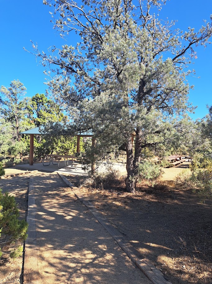
Moving on to the new group campsites, of which there are three – let me just say this: they are amazing! And a lot nicer than the old ones!
Each one is named for a scientist. Camp Ferguson is named for Charles Wesley Ferguson, a tree ring guy. Camp Nelson is named for Clem Nelson, who was a UCLA geology professor. And Camp Noren is named for Alvin Edgar Noren. Al Noren was a district ranger who was one of the first to understand the importance of the Bristlecone Pines to science.
UCSB Professor Art Sylvester may not have a mountain campsite named for him, but he did coauthor a geology guide for eastern California: “Geology Underfoot in Death Valley and Eastern California” (2nd edition). It is nice to have a book to thumb through as you complete the long drive up Highway 395.
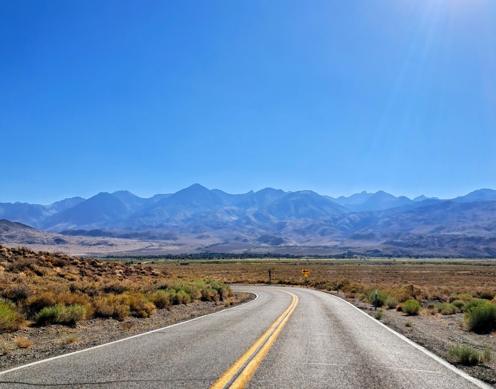
Driving back towards The Sierra, it was hard to imagine that the mountains in front of me still contained glaciers.
Near the Big Pine Creek Campground, there is a little store, a coffee shop, a trout pond for the kids, a few cabins and horse stables. The historic Glacier Lodge (1917) burned down in 1998.
As I organized my gear at the campsite, I discovered that our cat Baby Carrot had left me a message in the form of cat urine on my sun hoodie. It is nice to know that I had been officially claimed by my house cat. Baby Carrot, I am honored.

The next morning I drove back into town and purchased a new sun hoodie. It was an upgrade, although an expensive one.
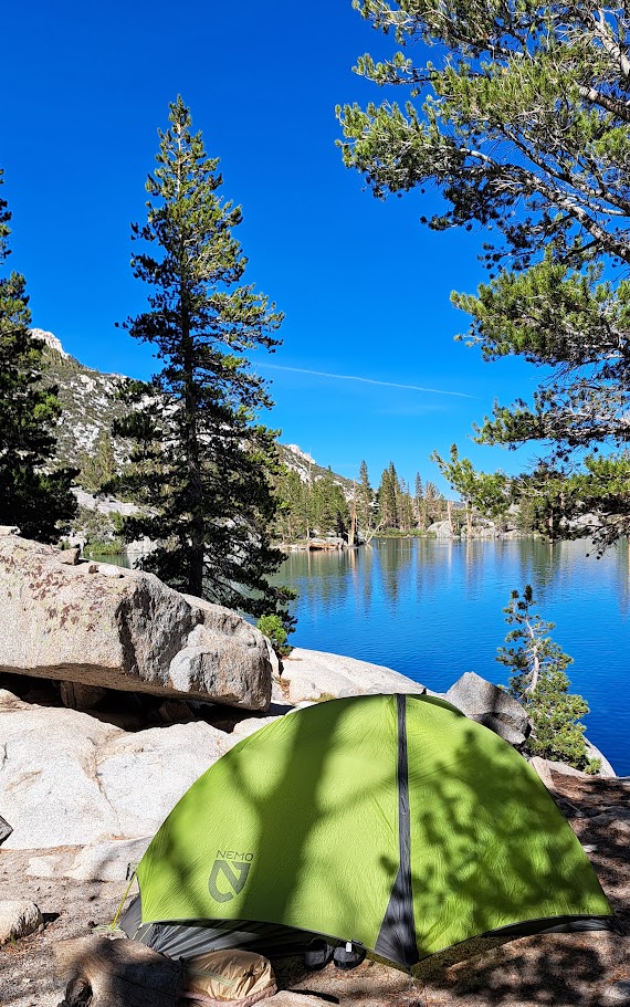
After cutting the tags off my new sun hoodie and proudly donning it, I hiked five miles up to Second Lake. There, I scored a nearly flawless lakeside campsite. I was later joined at the lake by two young gentlemen from Redlands, California: Ben and Victor. There was ample distance between us, so I could neither see nor hear them. I did visit them the next morning, where we discussed many topics. Ben and Victor had camped in the exact same spot eight years ago. They are best friends from the tenth grade. My first question for them was: “What has changed in the last eight years?” Regarding their friendship, nothing. That is the grounding nature of maintaining these old-school-year friendships. Nothing changes. They know you.
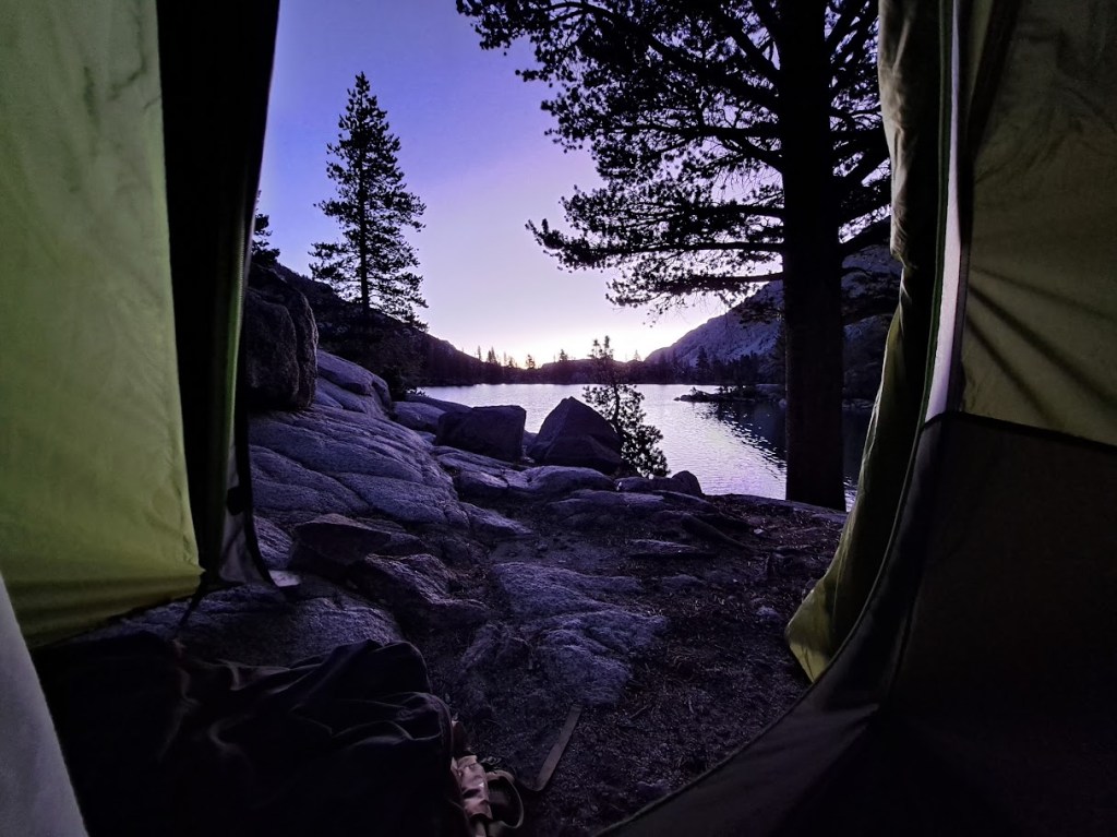
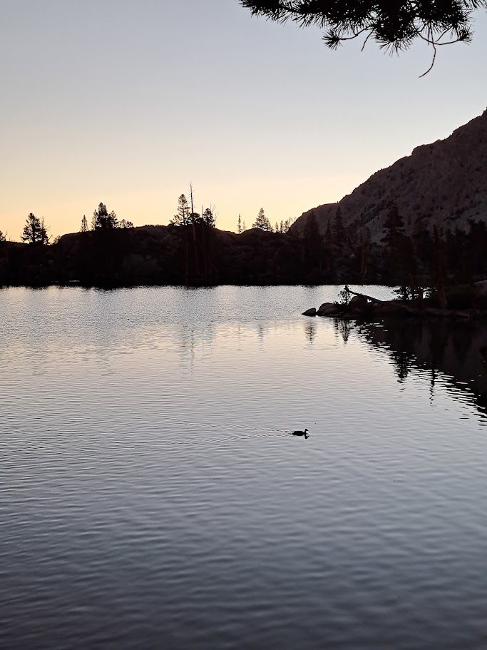
The next day I completed the Popsicle loop and ended up camping by the creek about four miles from the trail head. Big Pine Creek is loud. It discharges 50,000 acre-feet of water every year. Most of that water is glacial runoff. The runoff carries fine sediment known as “glacial flour.” These fine particles remain suspended in the lakes below the glacier. They interact with light in a way that favors hues of turquoise.
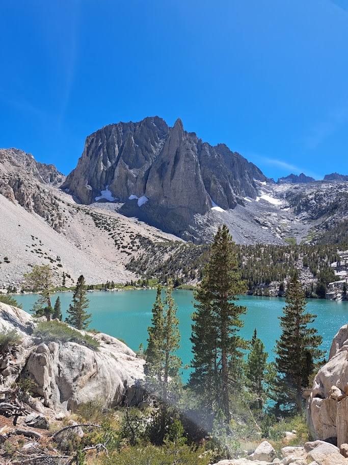
From south to north, the three glaciers in the region are the Norman Clyde Glacier, Middle Palisade Glacier and Palisade Glacier.
They sit tucked into high, shaded cirques beneath the towering peaks of the Palisade crest, which shelters them.
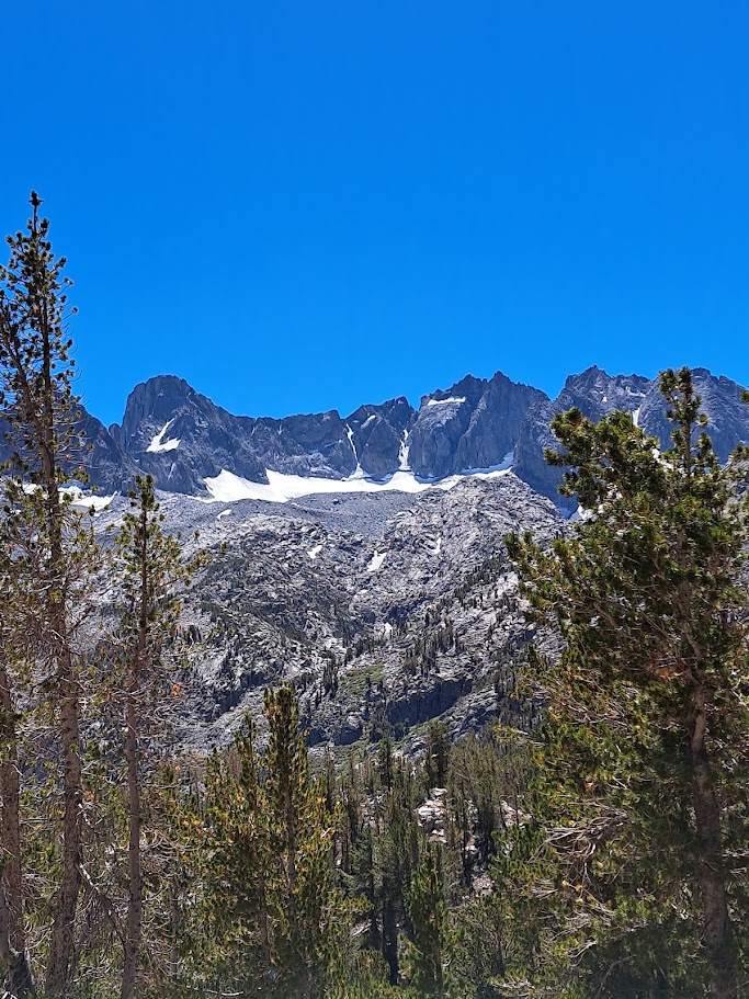
These glaciers are the southernmost glaciers in the Sierra Nevada mountains. They are small, alpine glaciers – not the large continental glaciers like those found in Greenland and Antarctica. Here you will find classic alpine glacial features like crevasses, terminal moraines, and bergschrunds.
They are projected to be gone by 2085. It is possible that some of these high Sierra glaciers have existed for over 10,000 years.
As they shrink, Big Pine Creek will lose its late-summer buffer. Glaciers act as natural water reservoirs, slowly releasing water during the hottest, driest months of August and September. This makes Big Pine Creek Canyon uniquely verdant. Once they are gone, the creek’s flow will drop drastically by late summer, and the lakes will eventually lose their vibrant turquoise color.
It is remarkable to visit a Sierra canyon in August that feels like it is still spring.
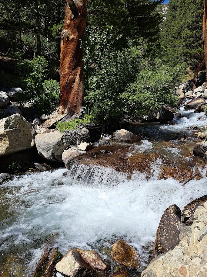
As I lay in my tent next to Big Pine Creek, I couldn’t help but wonder at how much water was pouring down the canyon. I didn’t sleep much that night. Instead, I listened in wonder. The roar was not a constant white noise. It would fluctuate and vary. It was a chorus, or symphony. The upper part of the creek contributed to the treble. The lower part of the creek was the bass. I understood that I was listening to a musical composition that would slowly diminish, then be lost forever. Never to have been recorded? So I listened. And I wondered.
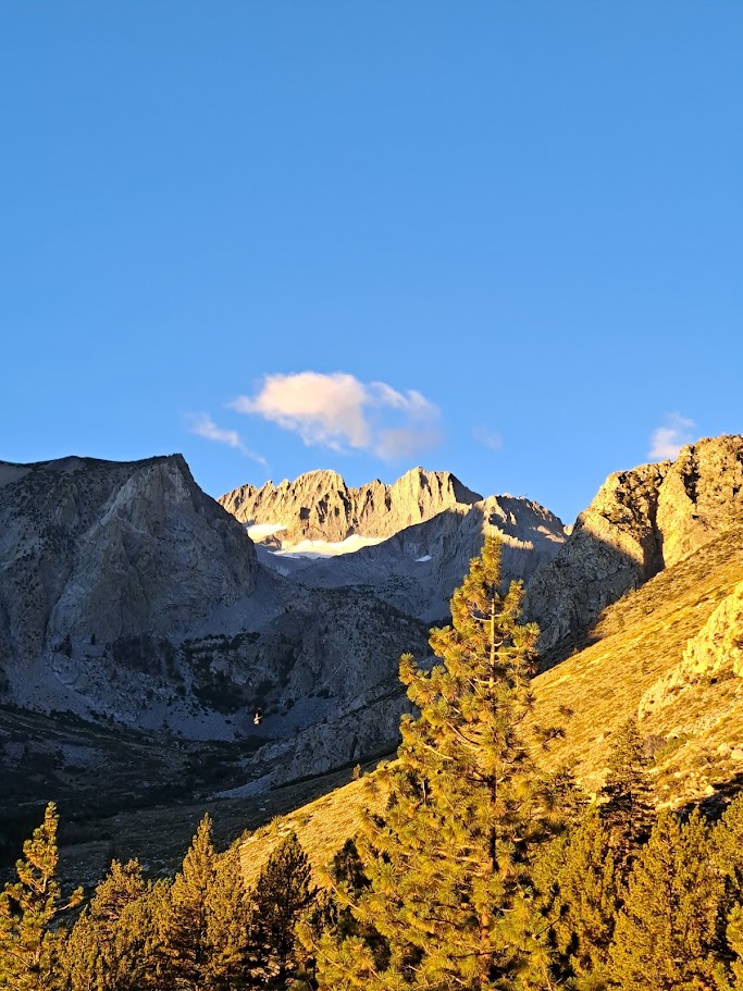
If you look closely, you can see a Clark’s Nutcracker in flight.
Interesting Side Note: About one mile downstream is one of the few areas where the North Fork of Big Pine Creek slows down. The valley flattens out for a while, and the creek pauses its incessant cascade. This area is very green and is called Cienega Mirth. “Cienega” means marsh and “Mirth” means happy. It’s a happy marsh.
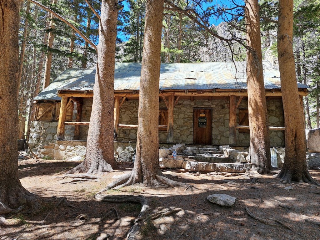
It was here that silent film star Lon Chaney had a cabin built in 1929. The architect was Paul R. Williams, the only African American architect west of the Mississippi at that time. Most of the buildings he designed were in Southern California and included the homes of numerous celebrities, such as Frank Sinatra, Lucille Ball and Desi Arnaz, and Barbara Stanwyck.
Sadly, Lon Chaney died a year after the cabin was completed. Then, in 1964 the Wilderness Act was passed and the lease for the land that the cabin was on expired. The Forest Service was going to remove the cabin (as in blow it up with dynamite) but decided against that course of action. Today it is a rugged ranger station – a little rough around the edges, but hanging in there.
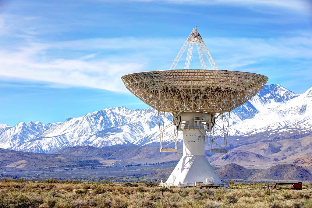
Final Tidbit: Caltech still maintains a radio observatory on the valley floor just north of Big Pine. They have a number of large dishes pointed mysteriously at the sky.
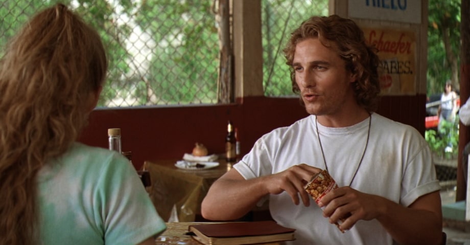
They remind me of the classic science fiction movie “Contact”. Whenever I drive by them I have to quote Matthew McConaughey’s Palmer Joss in my best Texas drawl. I do this aloud, even if I am alone. On one particular fun drive north along the 395 with my son, he looked out the car window and noticed the dishes. “What are those?”, he innocently asked. I paused, kind of smirked and said “I hear the locals, they call it El Radar.“

 "Trail Reports"